Kentucky is the first state in the nation to capture high-resolution aerial imagery of its entire geography. These photographs are free to access and open to the public online at the KYFromAbove Explorer. All of Kentucky’s certified 911 call centers now have access to this geographic and light detection and ranging (LiDAR) data, which helps operators and first responders find and rescue people in distress.
Aerial images also make it easier for emergency management leaders to assess damage after natural disasters and find safer places to rebuild.
In addition, they can enhance economic site development and selection; plan and design work for infrastructure projects; high-speed internet deployment; wildlife management; property assessment; and a variety of projects undertaken by engineers, surveyors, real estate firms, commercial developers, roofing and fencing contractors, consultants and other professionals.
KYFromAbove provides an unprecedented view of Kentucky’s beautiful landscape and context for hundreds of map layers in state and local government agencies. Kentuckians can view both ortho (top-down) and side-angle photographs of all 120 counties – 40,660 square miles – at a stunning three-inch resolution.
Normally, oblique imagery is restricted to those with the resources to pay for a licensed product, but the completion of this project removes that barrier and levels the playing the field. In the past, data of this quality was only available to Kentucky’s larger cities and counties, but now, every community will benefit, along with the private sector and all Kentuckians and visitors.
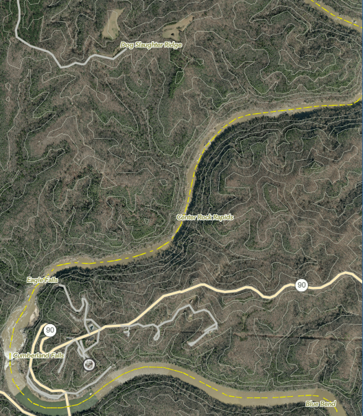
The area surrounding Cumberland Falls, seen via the KYFromAbove Explorer.